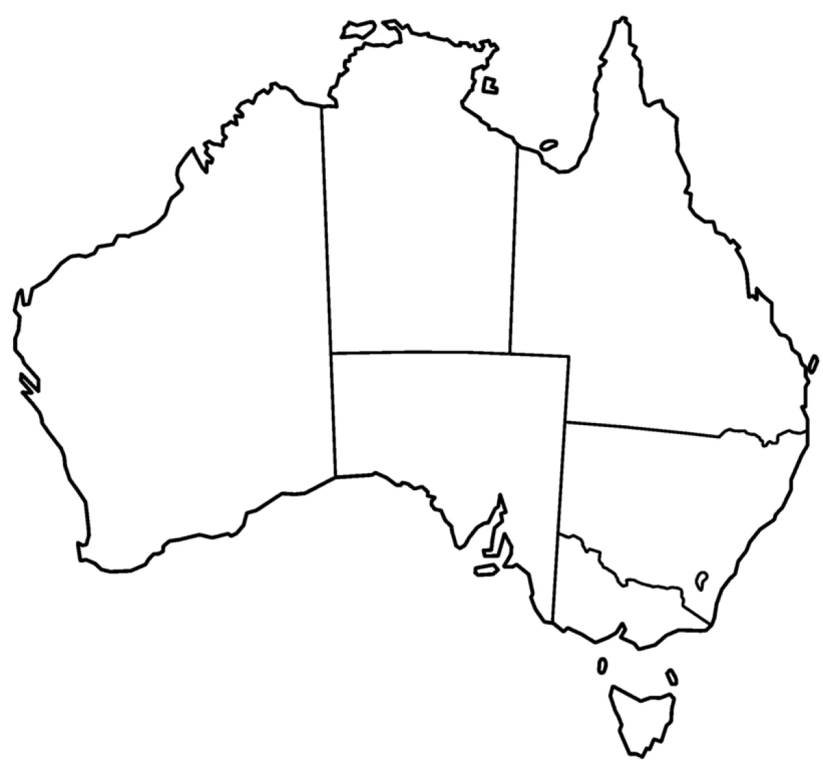
Map of Australia with states coloring page
Map of Australia with states coloring page – free to print on A4 or US Letter, to download as a PDF or to color online.
Tip: turn off "Headers and footers" in the print window.
This coloring page shows a simple black outline map of Australia, with the borders between its states and territories drawn in. The large continent, the northern coastline and the island of Tasmania to the south are all clearly marked. It suits children aged 8 to 12 who are learning geography, as the shapes are large and easy to recognize but the state borders need careful, neat coloring.
Tip: give each state its own color, so children can see where one ends and the next begins. Colored pencils work well for the narrow borders.
Ideas for the classroom
- Have children color each state and territory, then name its capital city.
- Ask students to mark famous places such as Uluru, the Great Barrier Reef and Sydney on the map.
Printing tips
Choose A4 if you are in Europe and US Letter in the US or Canada, so nothing gets cut off. Plain 80 g paper works for crayons; use thicker paper for markers or watercolors.