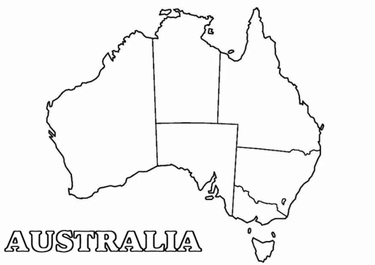
Map of Australia with states and territories coloring page
Map of Australia with states and territories coloring page – free to print on A4 or US Letter, to download as a PDF or to color online.
Tip: turn off "Headers and footers" in the print window.
This coloring page shows an outline map of Australia, with the country's main borders drawn between its states and territories. The large word AUSTRALIA is written in outlined letters at the bottom left, and the island of Tasmania sits off the southeast coast. The simple, clear shapes make it suitable for children around 6 to 12 years old who are learning geography.
For a fun result, give each state or territory its own color and use a crayon or marker to fill the larger areas evenly. Older children can add a small label for each state name in pencil before coloring.
Ideas for the classroom
- Have children color each Australian state in a different color and then name the states and their capitals.
- Use the printed map as a starting point for a lesson on Australian animals, landmarks, or climate by region.
Printing tips
Choose A4 if you are in Europe and US Letter in the US or Canada, so nothing gets cut off. Plain 80 g paper works for crayons; use thicker paper for markers or watercolors.