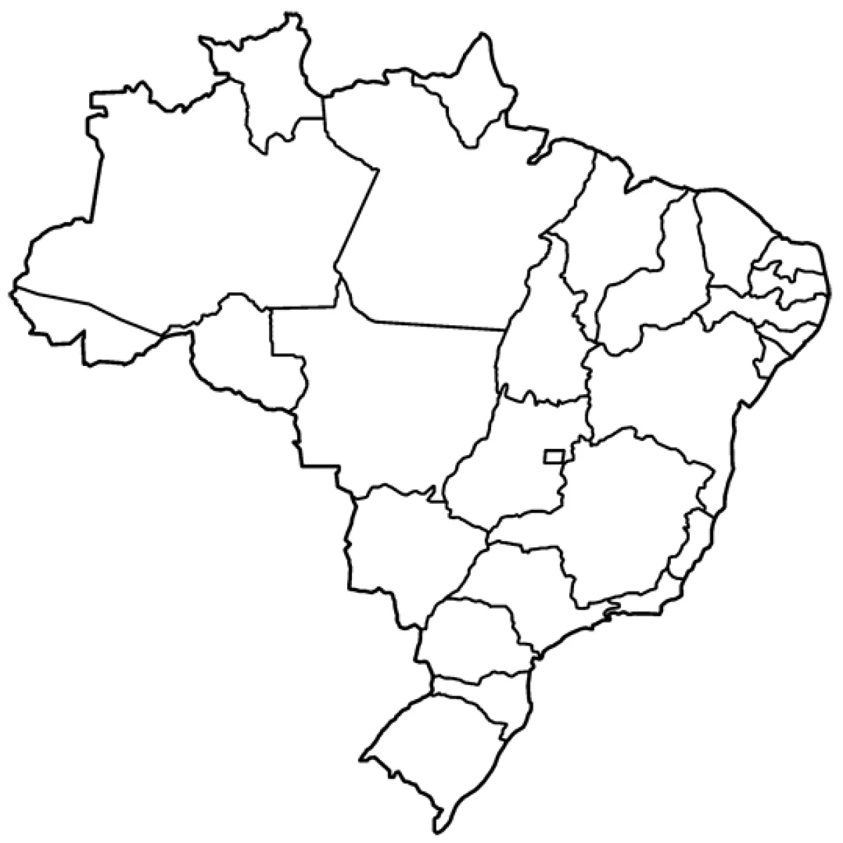
Map of Brazil with states coloring page
Map of Brazil with states coloring page – free to print on A4 or US Letter, to download as a PDF or to color online.
Tip: turn off "Headers and footers" in the print window.
This coloring page shows an outline map of Brazil, with its country border and the lines separating its many states. The large shapes make it a good choice for older children, around 8 to 12 years old, who are learning geography or the names of countries and regions. Younger children may enjoy it too, especially with a teacher or parent pointing out where they live.
A practical tip: give each state a different color so the regions stand out. Using warm colors for the north and cool colors for the south makes the map easy to read and helps children remember where things are.
Ideas for the classroom
- Ask children to find and color their home state, then name its capital.
- Compare Brazil's map with a map of their own country and discuss the differences in size.
Printing tips
Choose A4 if you are in Europe and US Letter in the US or Canada, so nothing gets cut off. Plain 80 g paper works for crayons; use thicker paper for markers or watercolors.