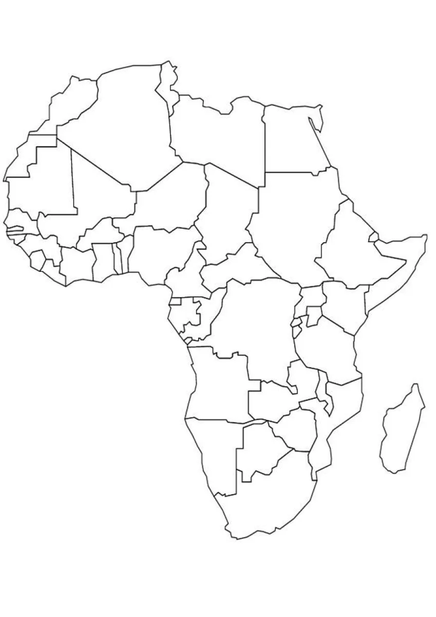
Map of Africa with countries coloring page
Map of Africa with countries coloring page – free to print on A4 or US Letter, to download as a PDF or to color online.
Tip: turn off "Headers and footers" in the print window.
This coloring page shows an outline map of the African continent, with the borders of its countries drawn in black lines. You can see the northern coast, the Horn of Africa, the western bulge and the southern tip, plus the island of Madagascar off the east coast. It suits older children, roughly from 8 to 12 years old, who are learning geography, since many countries are small and have detailed borders.
Color each country in a different bright color so the borders are easy to tell apart, and try coloring neighboring countries in contrasting shades. Use a light color for the sea areas if you want the continent to stand out.
Ideas for the classroom
- Ask children to find and name five African countries before coloring them.
- Compare the map with a world map to show where Africa sits on the globe.
Printing tips
Choose A4 if you are in Europe and US Letter in the US or Canada, so nothing gets cut off. Plain 80 g paper works for crayons; use thicker paper for markers or watercolors.