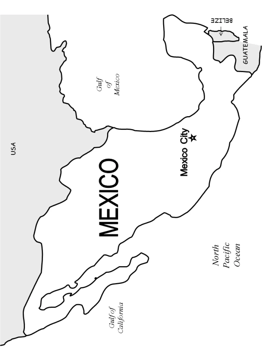
Map of Mexico with neighboring countries coloring page
Map of Mexico with neighboring countries coloring page – free to print on A4 or US Letter, to download as a PDF or to color online.
Tip: turn off "Headers and footers" in the print window.
This coloring page shows an outline map of Mexico, with its borders, the Gulf of Mexico to the east, the Gulf of California and the North Pacific Ocean to the west, and neighboring USA, Belize and Guatemala. Mexico City is marked with a star. It suits children aged 8 to 12 who are learning geography and country names.
Tip: Color Mexico in one shade and the neighboring countries in another, so the borders stand out clearly. Label the oceans and gulfs in blue.
Ideas for the classroom
- Ask students to find Mexico City on a world map and mark it with a star.
- Have children name the bodies of water around Mexico and color them blue.
Printing tips
Choose A4 if you are in Europe and US Letter in the US or Canada, so nothing gets cut off. Plain 80 g paper works for crayons; use thicker paper for markers or watercolors.