Maps and geography coloring pages
Explore the world with 6 free printable map coloring pages for kids. Download as PDF, print on A4 or US Letter, and start coloring today.
More in Nature
About Maps and geography coloring pages
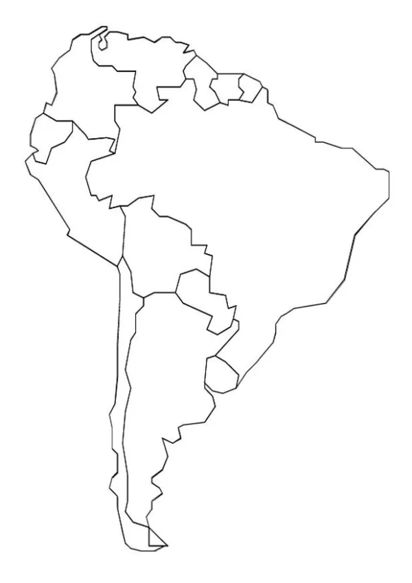
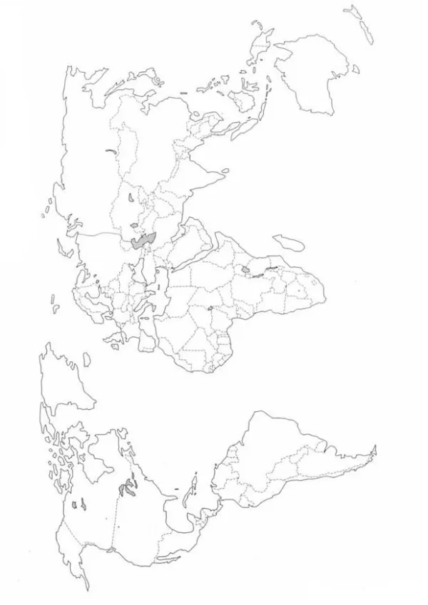
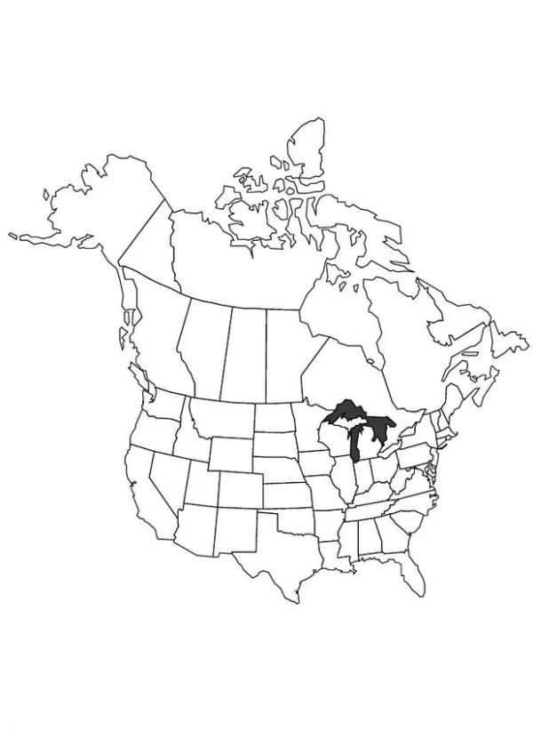
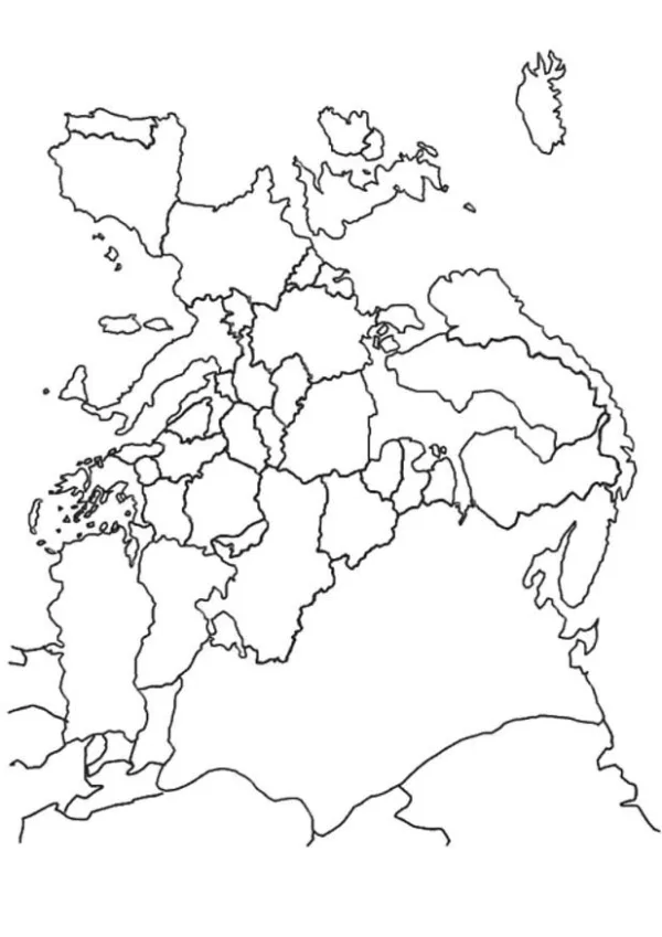
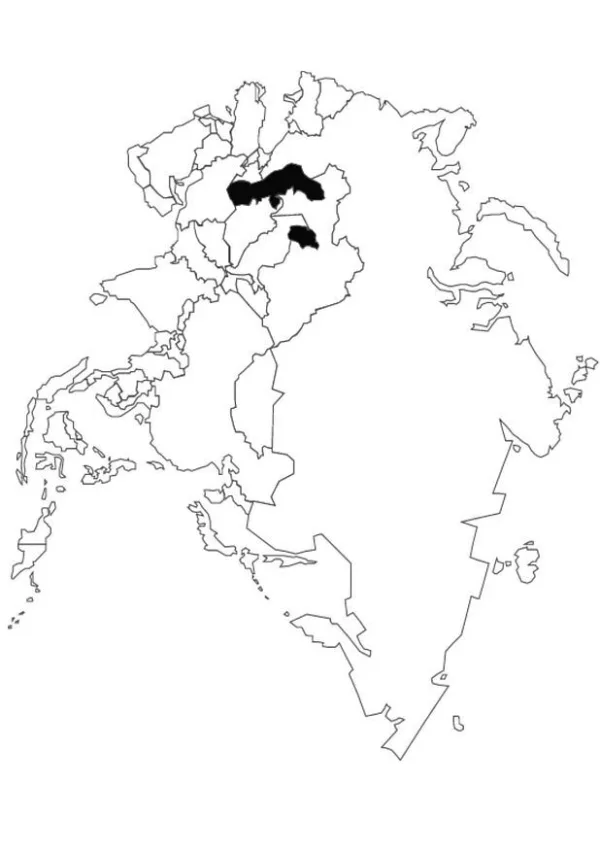
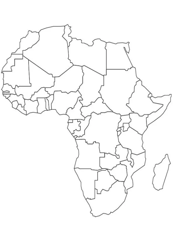
This category is all about maps. Children find six printable map coloring pages, each showing a different landmap to color in. Little explorers can trace rivers, shade mountain ranges and fill in countries and regions while they learn that the world is full of different places and landscapes.
The pages suit children who are curious about where things are and enjoy careful, detailed coloring. Younger children can enjoy the big shapes and bold outlines, while older kids can take their time with the smaller areas and details. The maps work well for children from around five years old, and teachers and parents can adjust the challenge by choosing a page that matches the child's level.
At home, the pages can start a conversation about where family members live or where you would like to travel next. In the classroom, they can support a lesson on continents, landforms or the names of places. Children can color each area a different shade, add labels in their own handwriting, or compare two maps side by side.
Frequently asked questions
Are these map coloring pages really free?
Yes, all six pages are free to download and print. You can save them as PDF files and print as many copies as you need.
What paper size do the maps print on?
The pages are designed to print on A4 or US Letter paper. Choose the size that matches your printer settings before you print.
What age are these map pages best for?
They are suitable for children from about five years old and up. Younger children can enjoy the simpler shapes, while older children can work on the finer details.
Can teachers use these pages in class?
Yes, the pages are a good fit for geography lessons. You can print one per student or several copies for group work on landforms and places.