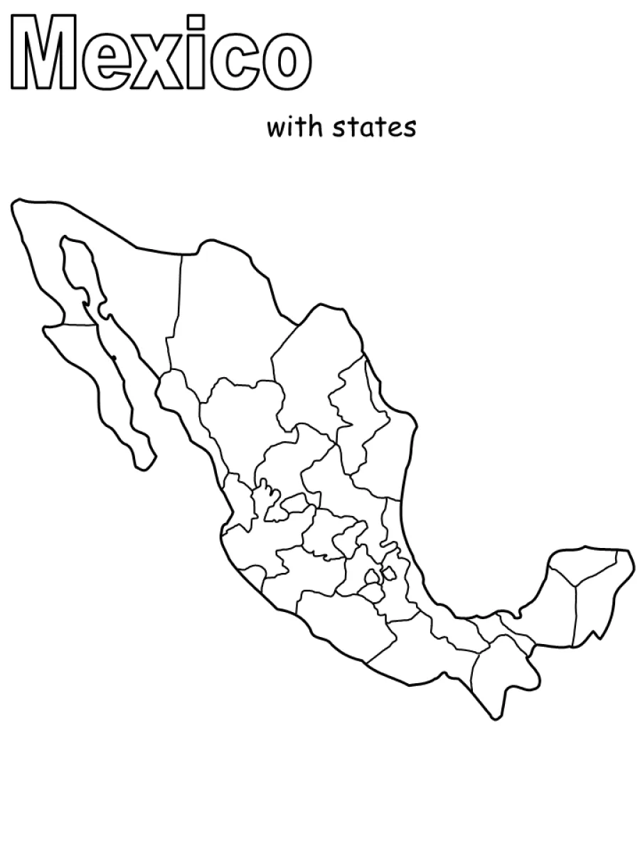
Map of Mexico with states coloring page
Map of Mexico with states coloring page – free to print on A4 or US Letter, to download as a PDF or to color online.
Tip: turn off "Headers and footers" in the print window.
This coloring page shows an outline map of Mexico, with its main borders and the lines dividing the country into its states. The large outer shape, the Baja California peninsula on the left and the Yucatán on the right are easy to spot. The word Mexico appears at the top, with the words with states underneath. It suits children aged 8 to 12 who are learning geography, as well as older kids who enjoy maps.
Coloring tip: give each state a different color, or use one color for each region of the country, so the state borders are easier to see and remember.
Ideas for the classroom
- Ask students to name the states they colored and find their capitals on a map.
- Use the page for a quiz: students label the Gulf of Mexico, Baja California and the Yucatán peninsula.
Printing tips
Choose A4 if you are in Europe and US Letter in the US or Canada, so nothing gets cut off. Plain 80 g paper works for crayons; use thicker paper for markers or watercolors.